


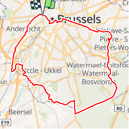


12.8 km | 15.1 km-effort


User


FREE GPS app for hiking
 SityTrail
IGN / Geographical institutes
SityTrail World
The world is yours!
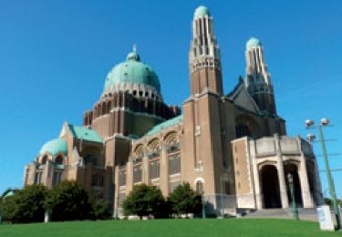
Trail Cycle of 39 km to be discovered at Brussels-Capital, Unknown, City of Brussels. This trail is proposed by alaindurbecq.
Cet itinéraire permet de rejoindre, du centre de Bruxelles, la promenade verte à Woluwé, de traverser la forêt de Soignes et de continuer lapromenade verte jusqu"au canal qui ramène au centre. Tr§s agréable.

Walking

Walking

Walking
Walking

Walking
Walking
Walking

Walking
Walking